Climate change is pushing temperatures higher, and with that comes a hidden danger: scorching hot pavement on streets. Contact burns from touching asphalt become a bigger problem for many cities, posing a public health risk often underestimated.

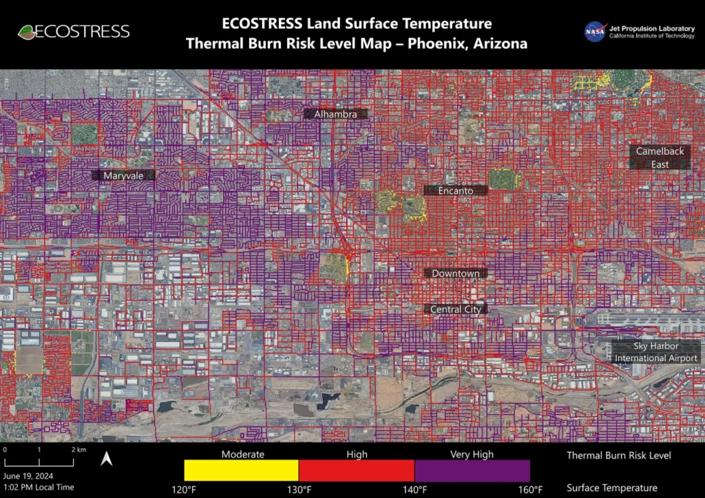
A new NASA map reveals the widespread threat in Phoenix and notoriously hot similar kind of cities. It uses data from the Ecosystem Spaceborne Thermal Radiometer Experiment on Space Station (ECOSTRESS) to map pavement temperatures. The map shows vast areas (yellow) where asphalt and concrete reached at least 120 degrees Fahrenheit (49 degrees Celsius) on June 19th at 1 pm local time. Worryingly, many roads exceeded 140 degrees Fahrenheit (60 degrees Celsius), shown in purple.
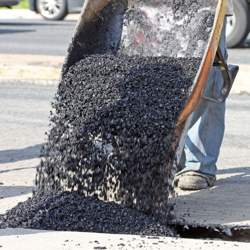
Asphalt absorbs a whopping 95% of solar radiation due to its dark color and material composition. This makes streets significantly hotter than air temperatures on scorching days – often 40-60 degrees Fahrenheit (22-33 degrees Celsius) hotter.

Concrete, particularly new concrete, reflects more sunlight due to its lighter color, staying cooler. However, weathered concrete can darken and reach higher temperatures.
The map highlights a crucial factor: shade. Areas with more trees, providing shade, were demonstrably cooler. This aligns with observations in other cities studied by the team. Their hope is that this data empowers cities to target heat reduction strategies, like planting trees or painting streets white.

Children, especially young children and babies, are most vulnerable to pavement burns due to their limited ability to react quickly. Elderly individuals and the unhoused population also face a higher risk.
Reference- Scientific American, National Library of Medicine, NASA website, National Geographic


